
Where is the Lowest Point in the State of Iowa?
While most of the Hawkeye State is fairly flat, its lowest point is still well above sea level. And where it's located may surprise you.
Surprisingly, Iowa's lowest point is actually higher in elevation than 36 other states and it's located in the far southeast part of the state.

Welcome to the Lowest Point in the State of Iowa
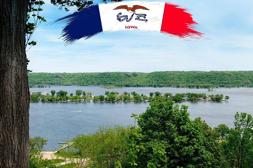
According to A-Z Animals, the lowest point in the Hawkeye State can be found in Lee County, along the Mississippi River and the Illinois and Missouri borders. It stands at 480 feet above sea level.
How far away is Iowa's lowest point from Iowa's highest point? Around 400 miles.
Read More: Where is the Highest Point in the State of Iowa?
The highest point in the state of Iowa is Hawkeye Point, located in Osceola County the the far northwest of the state. Hawkeye Point is essentially found in a cornfield and it's difficult to tell with the naked eye that it's Iowa's highest point. It stands at 1,670 feet above sea level, roughly 1,190 feet taller than Iowa's lowest point.
Here's what A-Z Animals has to say about the lowest point in Iowa:
Only 13 states have a higher lowest point than Iowa. These are Colorado, Idaho, Kansas, Michigan, Minnesota, Montana, Nebraska, New Mexico, North Dakota, South Dakota, Utah, and Wyoming. While most of these states are in the High Plains or Rocky Mountains, Iowa is unique for being a Midwestern state with such a high low point.
-A-Z Animals Website
To read more about the lowest point in the state of Iowa and how it got that way, check out the entire article from the A-Z Animals Website.
Story Source: A-Z Animals Website