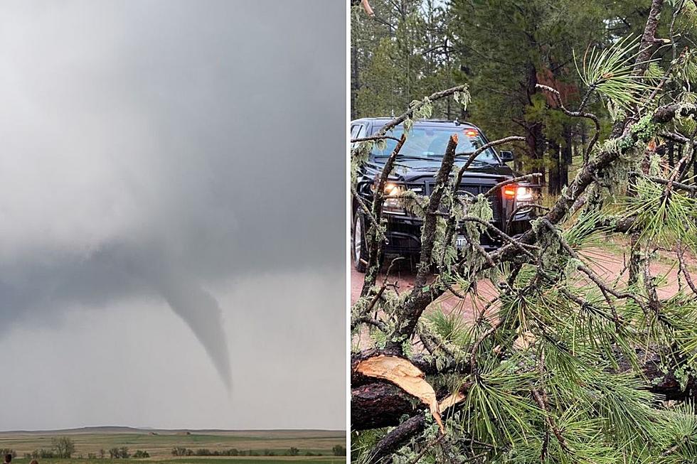
Brief Tornado Warning Issued for Lincoln County
An early spring storm briefly prompted a tornado warning south of Sioux Falls on Wednesday. As it headed north it only produced heavy rain and strong winds.
At 2:14 PM the National Weather Service issued a warning for central Lincoln County. Meteorologist Alex Ferguson describes the conditions that prompted the action.
“There was a broad rotation signature in the southern part of Lincoln County. Because it was on the stable side of that frontal boundary, that’s why it ended up being a short tornado warning. We did not expect that circulation to last and it did not.”
Frontal boundaries divide cold and warm air masses and Ferguson says this one was a little more intense than normal.
“Sometimes right around those frontal boundaries you can get an extra bit of spin. Those do breed tornadoes. Essentially that’s what happened with this storm.”
Ferguson states that it’s not out of the ordinary for these types of events in May.
“It’s somewhat commonplace especially for one of these messier events with more rain. Those tend to happen for us earlier in our severe weather season during May or later during the fall.”
Two sightings of tornadoes were reported in Sioux County, Iowa Wednesday afternoon.
One tornado briefly touched the ground northeast of Alton and another was spotted west of Matlock. No significant damage was reported.
See Also:
More From KIKN-FM / Kickin' Country 99.1/100.5


