Blizzard Conditions Create Havoc, Cancellations Around Sioux Falls, South Dakota
UPDATE: I-90 westbound is now open between Sioux Falls and Salem. Although the road is open the South Dakota Department of Transportation advises that traveling will still be dangerous because of the conditions.
UPDATE: Bad accident on I-29 South at the Tea exit. Over a dozen vehicles involved according to multiple reports.
UPDATE: The Sioux Falls Police Department reported 70 accidents in the city from 7:30 a.m. until 4 p.m.
###
UPDATE: The National Weather service in Sioux Falls has issued a wind chill advisory which is in effect from midnight tonight to 10 am CST Friday.
Blizzard conditions with high winds and blowing snow will continue into early evening, then improve toward midnight. Lingering light snowfall will end. Wind chills will become dangerous by midnight.
UPDATE: The National Weather Service in Sioux Falls observed 2 inches of snowfall on Thursday along with the blizzard conditions.
Sustained northwest winds of 25 to 45 mph with gusts of 50 mph are expected. Areas of visibility near zero will slowly improve, but continue in open areas.
Decreasing wind chills will 20 below to 25 below zero late tonight and early Friday morning.
A blizzard warning means severe winter weather conditions are expected or occurring. Falling and blowing snow with strong winds and poor visibilities are likely. This will lead to whiteout conditions making travel extremely dangerous. Do not travel. If you must have a winter survival kit with you. If you get stranded stay with your vehicle.
A wind chill advisory is issued when a strong wind will combine with cold temperatures to create dangerously cold conditions for exposed skin. The wind will make it feel like it is 20 degrees below zero or colder for a period of several hours. Those planning to venture outdoors should dress warmly, making sure that all exposed skin is covered.
###
UPDATE: Very strong northwest winds will continue through the rest of this afternoon. Expect sustained winds of 35 to 45 mph, with gusts up to 60 mph. The winds will diminish during the late afternoon and early evening.
High wind warning remains in effect until 6 pm MST this evening. A high wind warning remains in effect until 6 pm MST this evening.
Northwest winds will be very strong through this afternoon. Winds northwest 35 to 45 mph with gusts up to 60 mph. Sudden wind gusts can cause drivers to lose control especially in lightweight or high profile vehicles. Strong winds can cause blowing dust or snow. Reduced visibility and flying debris.
Precautionary/preparedness actions. A high wind warning means 40 mph winds or gusts over 60 mph are expected or occurring.
###
UPDATE: The accident on Highway 11 SB just north of Harrisburg has been cleared. Visibility remains bad.
###
Blizzard warning remains in effect until 9:00 p.m. CST Thursday evening. Blizzard conditions with high winds and new snow are expected at times today. High winds and blizzard conditions will continue into the start of this evening.
Accumulations of 1 to 2 inches of new snow should accumulate. Wind and visibility, sustained northwest winds of 30 to 45 mph with gusts of 50 to 65 mph are expected. Areas of visibility near zero are expected at times today. The worst of the visibilities will occur in the scattered snow showers that are possible at any time through the day.
Decreasing wind chills will reach 10 below to 20 below zero this evening as colder air arrives.
A blizzard warning means severe winter weather conditions are expected or occurring. Falling and blowing snow with strong winds and poor visibilities are likely. This will lead to whiteout conditions making travel extremely dangerous. Do not travel. If you must have a winter survival kit with you. If you get stranded stay with your vehicle.
###
UPDATE: The National Weather Service in Rapid City has cancelled the winter weather advisory. The wind will continue to diminish through the rest of the afternoon which will greatly reduce any travel problems due to blowing snow. Therefore the winter weather advisory that was in effect for the Black Hills has been cancelled.
###
22 car pile up at mile marker 375 on I-90 west of Sioux Falls. Don't travel unless its an emergency! pic.twitter.com/V4nh9FG9ws #sdwx — Todd Heitkamp (@ToddHeitkamp) January 16, 2014
###
UPDATE: An accident has reported on Highway 11 SB just north of Harrisburg. Drivers should consider alternate routes.
###
UPDATE: The Lincoln High School vs. O'Gormon High School basketball game has been cancelled due to severe weather conditions. No word on make-up date.
###
UPDATE: I-90 Westbound Laverne, Minnesota to Sioux Falls is also closed. Visibility is good from Canton south.
###
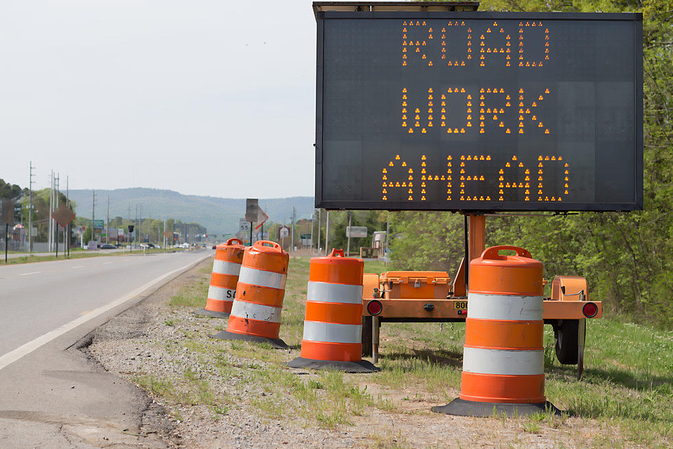
According to reports, South Dakota officials are closing westbound I-90 from Sioux Falls to Salem.
Numerous accidents have been reported along this stretch of highway due to blizzard conditions throughout the state. Many of the accidents are blocking the highway.
The Sioux Falls Police Department is advising no travel in Sioux Falls until the wind subsides. Visibility is currently near zero with blowing snow, and scattered slippery spots are making travel treacherous. Winds should die down by early morning on Friday, and snow removal crews are out in full force, but street conditions are not favorable for travel at this time.
Officials say the highway will re-open when it is cleared.
More From KIKN-FM / Kickin' Country 99.1/100.5