North Dakota…It’s Your Turn.
It seems the spring-snowstorm bear has been poled with a stick...and she's not happy.
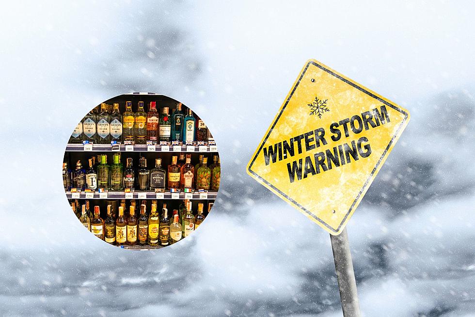
Blizzard warning are in effect for much of central North Dakota while a Winter Storm Warning pretty much cover the rest. Travel is not advised throughout the entire state. 40 mph winds will create white-out conditions making travel nearly impossible.
Jamestown could be the hardest hit with 12" to 18" of new snow predicted.
Snow also is expected to fall across the northern portions of South Dakota, with freezing rain possible.
The middle of this week could bring even more precipitation to South Dakota as well.
Here's an excerpt from the Sioux Falls NWS forecast:
- Tuesday Night: A slight chance of rain and snow between 8pm and 2am, then a chance of snow. Mostly cloudy, with a low around 30. Chance of precipitation is 50%.
- Wednesday: A chance of snow before 8am, then rain and snow likely. Cloudy, with a high near 38. Chance of precipitation is 60%. New snow accumulation of around an inch possible.
- Wednesday Night: Rain and snow likely. Cloudy, with a low around 28. Chance of precipitation is 60%.
- Thursday: A chance of snow. Mostly cloudy, with a high near 37. Breezy. Chance of precipitation is 50%.
- Thursday Night: A chance of snow. Mostly cloudy, with a low around 22. Blustery. Chance of precipitation is 30%.
I'm worried it will be another potpourri of weather. There could be anything from cold rain, freezing rain or both Wednesday, changing over to snow Wednesday night." Mike Fuhs, National Weather Service via Argus Leader
More From KIKN-FM / Kickin' Country 99.1/100.5