Blizzard Warning Set For 4 States, Including South Dakota. Happy Monday
We're right on time for our annual end-of-March blizzard. A major snow storm is going to impact travel in the Dakotas, as well as Minnesota, and Wisconsin.
The hardest hit are will be in North Dakota, with much of the state receiving 10 - 20" of snow with 50 - 60 mph winds.
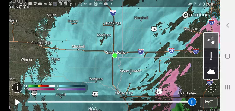
The Sioux falls area should see mostly rain as we are at the extreme southern portion of this monster system. The rain will change to snow as the temperatures cool late in the day with around a half-inch of new snow accumulations expected late Monday into Tuesday morning.
Are we "out of the woods" after this round of weather? Not likely. Another few inches of snow likely toward the end of the week.
More From KIKN-FM / Kickin' Country 99.1/100.5